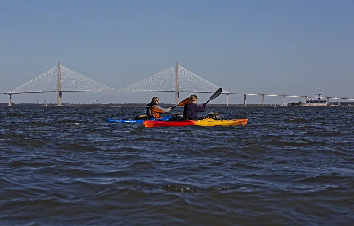
a few weekends ago i talked 2 of my adventurous friends into joining me on a chilly (for charleston) 40 degree over night paddle into caw caw swamp. we left from lime house landing on johns island and headed to a spot i had been to before, but never overnighted at. the plan was to photograph a few trees for my current project that evening, however we had zero water in our the canal we were staying on from 8 pm until 2 am, when the tide started to come back in. so i decided to get up around 5, and photograph before the sun came up - and it worked out perfectly. i managed to get a good time-lapse of the sunrise at the same time i was out shooting the trees.
berries and bubbles
who would have thought that putting fruit in sparkling water would be so cool? thanks to sloane who dropped some raspberries in our drinks, and a sunny afternoon, i was able to make some cool images right on our coffee table. refreshing and beautiful. click on the images to view them in all their splendor.
sunday funday, and some history thrown in
this past weekend, our plans to camp saturday evening were thwarted by the possibility of death by tornado, which didn't seem like much fun. so we enjoyed the chicken chili we were going to cook in the dutch oven, on the stove instead and watched football in the relative comfort of my friends house. we got up early on sunday to clear skies and calm winds, and hatched a plan to paddle eleven miles from sunrise park on james island to crosby's on folly road. we caught the back end of an ebb tide from sunrise park and let that and wind carry us out of the harbor.
brad and beth paddling the harbor
the history part of this trip comes in the form of the civil war. very near the entrance to charleston harbor is fort sumter, the very spot where the first shots of the civil war were fired. the fort is now a national monument that folks can tour either by paid ferry ride, or by personal boat. we opted not to get out and explore, as we had all been there before.
fort sumter
fort sumters flags
fort sumter from morris island
we pulled our boats out of the water for an expiration of the north end of morris island, and waited for the tide to start coming back in, so we could paddle with it the next nine miles inland.
ft sumter from morris island
dead dinosaur, or horse shoe crab as many know them
the coast guard
view of sullivans lighthouse from morris island
oyster cacher
brown pelicans
brad and beth on the home stretch - check out that awesome hat
holidays up north
sloane and i traveled north this december to spend the holiday in rhode island and vermont. below are some images from our travels. click on an image to view it larger.
the family in rhode island
the ottauquechee river flows past the old mill building that houses simon pearce glass studio, restaraunt, and show room.
the tree in vermont
dinner at simon pearce
the new re-enforced quechee covered bridge, the old one was severely damaged by flood waters during tropical storm irene in 2011.
the town of woodstock, vt from the top of mount tom
brendan and i went snow shoeing in vt - but it was more like ice shoeing
a corral along the hike up mt tom, in vt
the little bit of sun we saw in vt - peeking through the clouds. view from mt. tom
meg, brad and baden
meg, brad and baden
along the hike up mt tom
old fashioned light painting by the vincents - at our new years party in chucktown
making the best of the shortest day in 2013
i had planned to camp this past weekend during the winter solstice, rain or shine. i was prepared for chilly temps and a windy night, but what we ended up with was 75 degrees and sun during the day - variable winds and high 50's at night. it was quite delightful. i finally dragged my old buddy natbo away from his work for a few hours, and forced him into a kayak. we headed to lake marion, to a spot i had never paddled at - and set out to find an island to camp upon.
nate doing his best to climb into a hammock from a kayak
we kind of wanted to sleep out here, but thought we may be gator bait if we did
perfect spot to relax
nate scaring off the cormorants
bald cypress at night
the campsite, the longest night of the year meant more time to drink beer
we were roused early in the morning by the sounds of rapid gun fire, which seemed dangerously close to our island paradise. i have no idea what the hunting season was, but what ever it was, i don't think any of those particular animals are left, judging by how many shots we heard. i got my self up and moving, and decided to go for an early morning paddle - to get a better view than we had from our campsite.
early morning paddle
first light on the cypress
cypress trunks
cypress trunks
lake marion is a man made lake, created in the 1940's by damming the santee river. there are a few ruins left over on the various islands, but from what i understand the rocks cemetary on church island is the most significant. it is still somewhat maintained and has a lot of folks who fought in the civil war buried there - hence the confederate flags.
home of a rebel sharp shooter
one of the overgrown plots
fallen soldier
my brother's backyard
my family gathered this thanksgiving in clarendon, pa - at my brother and sister in-law's house, which happens to be in the state park he manages. aside from the 13 hour drive both ways, it was a great trip. i was introduced to my niece brenna, got to play in 15" of snow, hang out with the family, see a few friends and eat until i couldn't eat anymore.
these are all images from chapman state park, which doubles as my brother's backyard.
entrance to the park
sun setting over chapman lake
ominous sky over the frozen lake
remember - only you can prevent forrest fires
the sun poking through the clouds between snow showers
the swinging bridge on the lowlands trail
hiking in the snow
sun setting over tionesta creek
more images of the park in the gallery below to save some space
a time-lapse of sunset over chapman lake.
a cold, cloudy night in chucktown
spent a bit of time downtown in between a business meeting and pecha kucha a few weeks ago - this is what i came up with.
ravenel bridge and water front park
the bridge from the battery
early evening on the battery
capers island in november
a solo trip to capers, to re-shoot my favorite tree at high tide, celebrate the end of november, and enjoy some incredibly mild weather.
some fellow kayakers arrive
kayakers and my favorite tree
searching for a campsite
the beginning of the boneyard
the tree
sunset reflected in a tidal pool
the tree with a reflection
sunrise
sunrise
setting up camp
breathing life into the fire
rantowles creek at low tide
a fish surfaced right before i snapped this shot
thirty-one aint so bad
i reached the ripe age of 31 this past saturday - and it was quite painless. aside from a hangover, which i am pretty sure i have had every year on nov. 16th since i turned 21, my day was quite enjoyable. the weather was incredible for mid november, i think the high was 75, and the wind was almost dead calm. i spent the morning surfing the waves at folly beach in my newest boat (thanks to sloane), a bright green jackson all-star. the surf was clean and fairly consistent, not as large as i would have liked, but i managed to get a few good rides in. after working my hangover off paddling the surf, i headed home and hatched a plan for the rest of the day. i decided to go kayaking again - since the weather was so nice. so i got a hold of my buddy anthony and we met up around 330 at the landing for a low tide exploration of rantowles creek. images of our adventure are below.
a snowy egret
anthony and the scenery
anthony
we had plans to do a loop, which i had done before - but with the tide being as low as it was, i knew we would probably have some troubles, and i was right. the tiny creek that runs behind the island we were looping around started off promising, but soon ran out of water that was paddle-able. we decided to push through the mud, but before we did, i got out of the boat to take a few shots of the sunset that was happening behind our backs.
some times it pays to get stuck
copyright 2013 anthony dotta
we pushed on through the mud, by taking apart our paddles and using them as push poles on either side of our boats. it took some time but we finally made it to water deep enough to paddle. we were fast running out of sunlight, but the full moon came up right before dusk and lit our paddle back to the landing. the rest of these shots are long exposures made from my camera mounted to the cockpit of my kayak. the squiggly light in the sky is the north star - not a ufo.
back into deep water
anthony's fancy pants kayak lighting system in use
the moon had come up pretty high by now, lighting the bow of my boat
some neat pilings
anthony
national park in my back yard
one of the less know national parks, congaree, is only a 2 hour drive up the road from charleston - and it is well worth the trip. i am surprised how many people i talk to that have lived in charleston for years, and don't even know we have a NP. i have paddled the park a number of times, there is a canoe trail here that is amazing, although usually quite difficult. i say it is difficult because it is rarely maintained, and trees fall across the creek on a weekly basis it seems, causing many muddy and inconvenient portages with a fully loaded boat.
i decided to forgo paddling this time, and see it from a different view - hiking. there are 24 miles of hiking trails here, and i got about ten covered on my recent visit. congaree contains the largest tract of old growth bottomland hardwood forest left in the united states. what does that mean? giant. ass. trees. one of the loblolly pine trees here is 167 feet tall - that is 16 stories high. unfortunately a lot of the giants fell to strong winds from hurricane hugo in 1989 - but you can still feel incredibly small walking through this forrest.
if you live nearby, do yourself a favor and check this place out - it is free!
if you can't make it, check out the gallery to see what you are missing.